EarthView3D VR (Android)

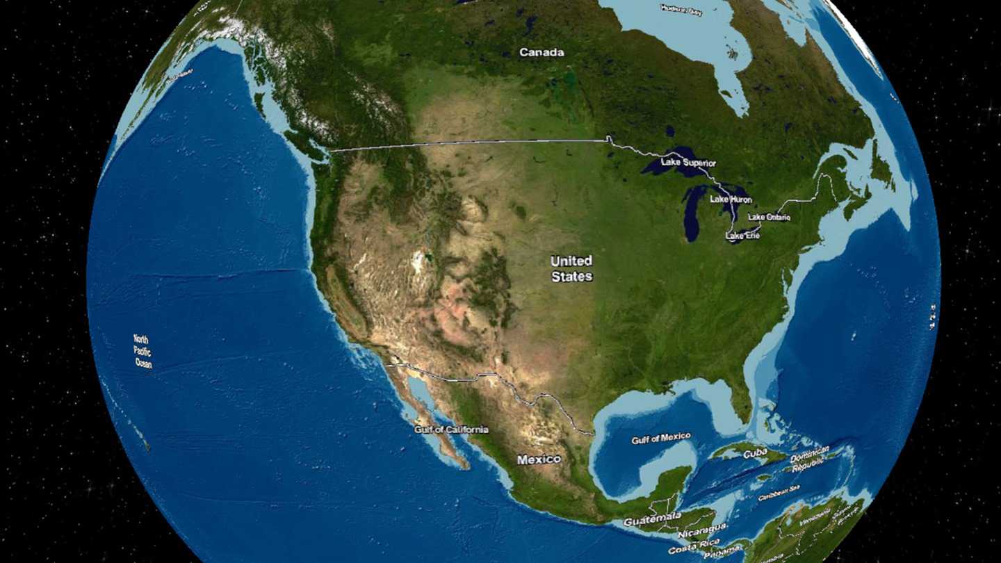
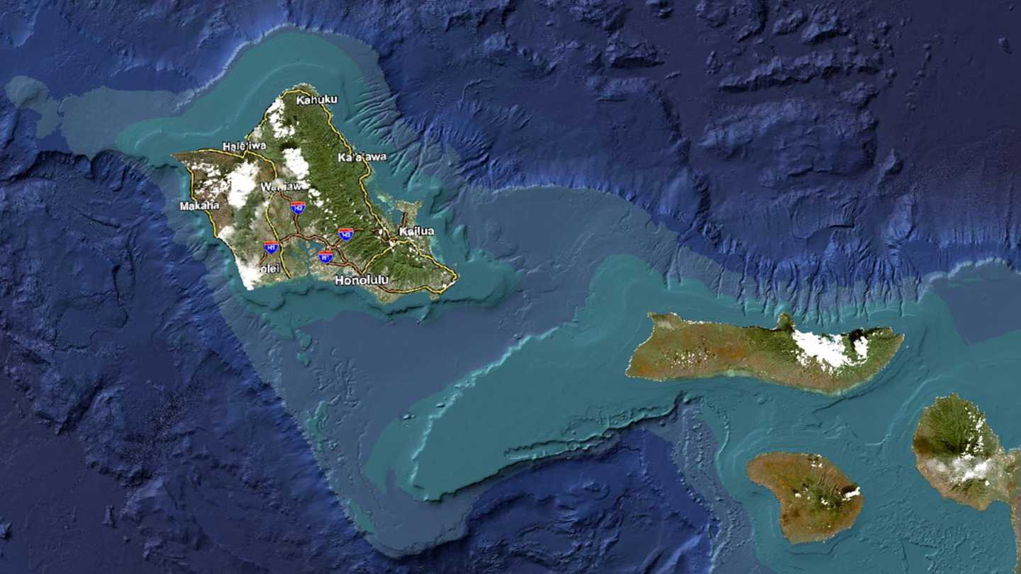
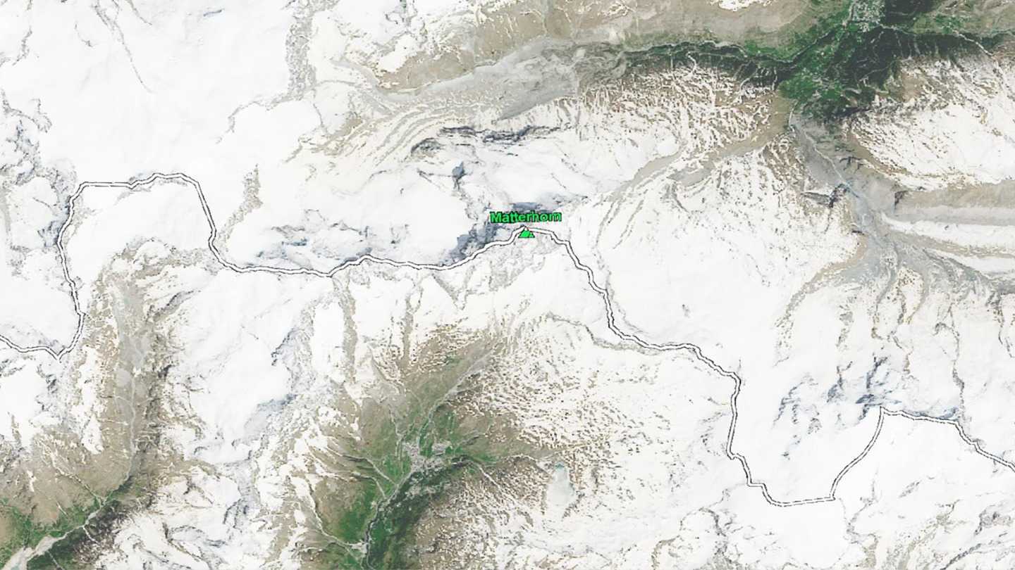

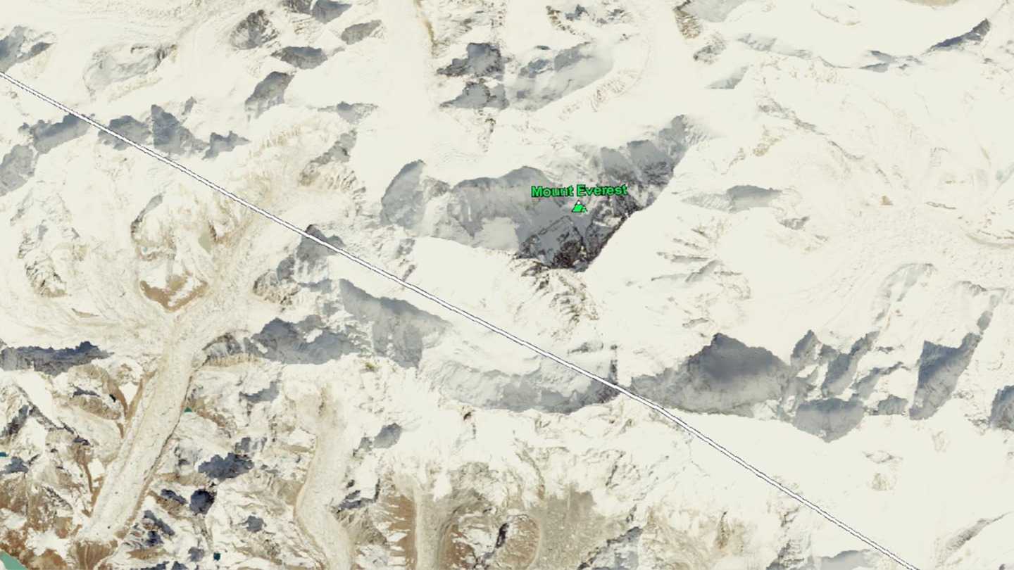
We use our patent pending technology to generate stereoscopic satellite imagery and line map which can cover the entire globe. Our current data set covers Canada, US (including Hawaii and Alaska), China, Japan, Korea, Nepal, and Switzerland. More country coverage will be available in the future.
With our innovative technology, not only satellite imagery, but also common map information are in 3D. Unlike traditional perspective 3D technology, everything you see in our EarthView3D viewer is just like the real thing!
Stereoscopic 3D maps provide a more intuitive user experience than 2D or perspective 3D maps. Potential applications include but not limited to: battlefield tactical assessment, border patrol, disaster relief assistance, flight simulation, road trip planning, natural wonder exploration, geography education, or simply exploring the beauty of the earth in 3D.
For a list of required permissions please check http://www.earthview3d.net/download-vr/#privacy.
Editores
CRC-AGIPDesarrolladores
CRC-AGIPEnlaces
Oculus
Fecha de salida
Enero 8, 2017
HMDs compatibles
Entrada
Forma de juego
Comentarios (0)